Projects
These are a selection of NR’s projects, both active and completed.

Validation of Persona Simulation
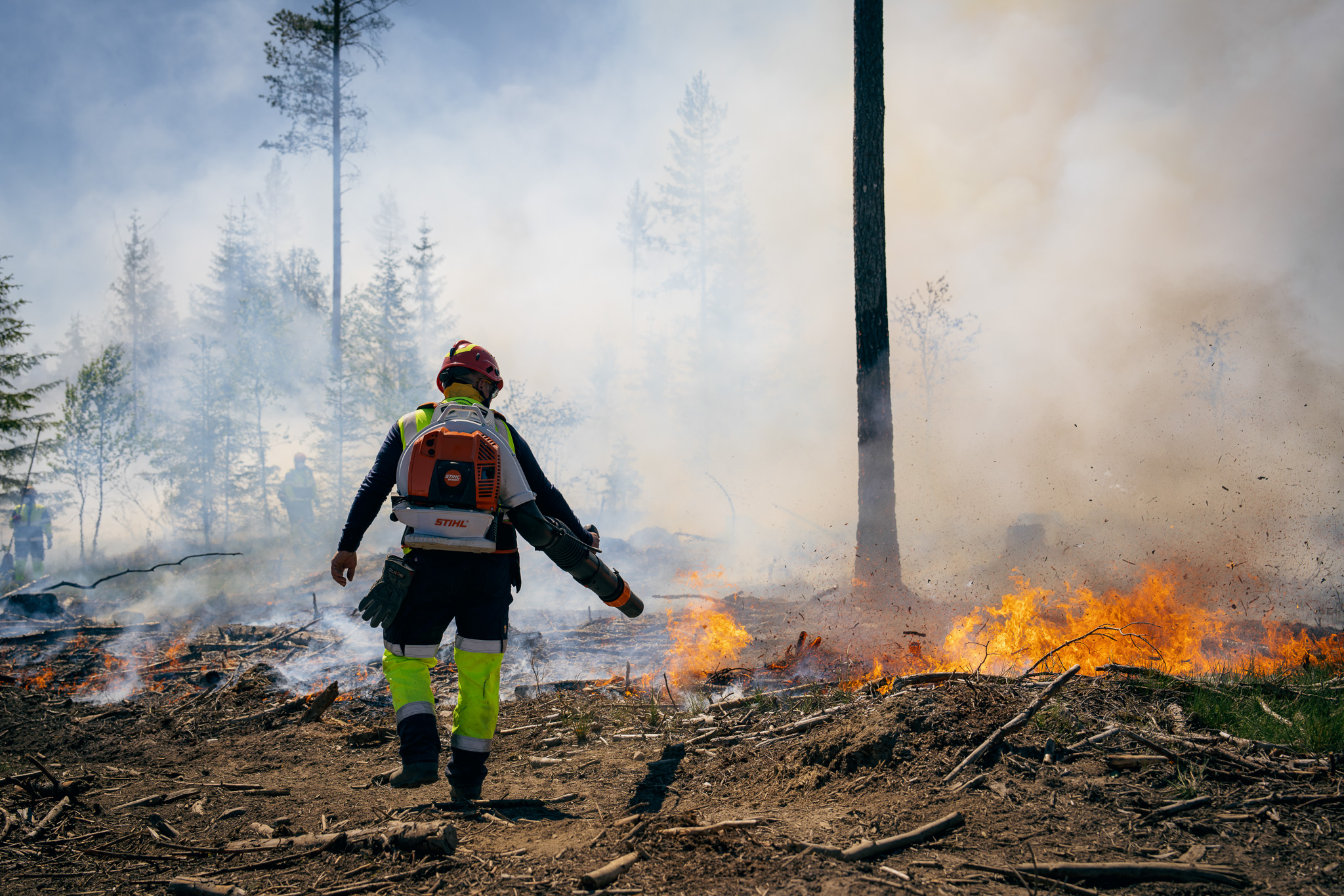
Improving resource sharing in fire and rescue services (BRACE)
- Digital security and privacy
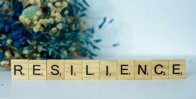
A global partnership for stronger cyber resilience (ResCri)
- Geomodelling
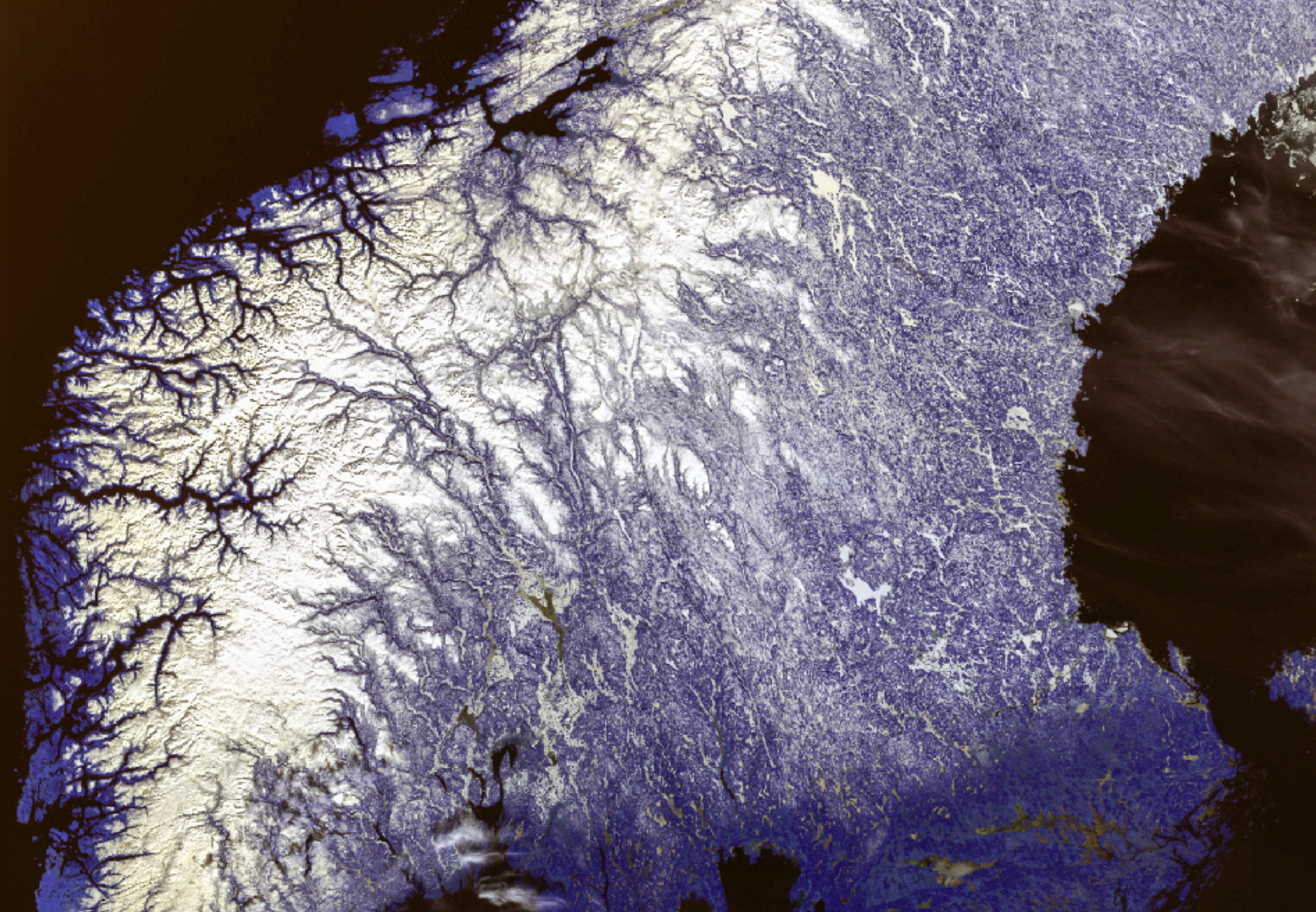
How CO₂ moves underground: Visualizing flow simulations
Norwegian research infrastructure for web data (WebData)
Streamflow prediction for smallscale hydropower plants
Local Insights for Global Climate Action (I4C)

- Digital security and privacy
- Earth observation
- Explainable Artificial Intelligence
Trustworthy and sustainable AI (ENFIELD)
- Statistical modelling
A transport system within planetary boundaries (TRANSPLAN)
- Digital inclusion
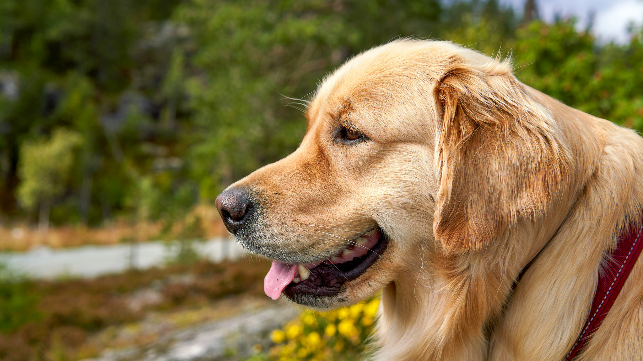
Remote video-based guidance for guide dog teams (Gå foran!)
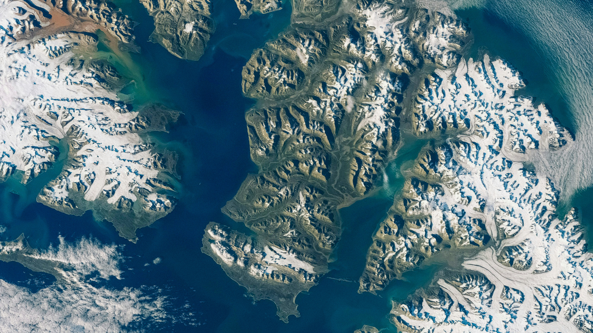
- Image analysis and Earth observation
Sharper satellite images with deep learning (SuperAI)

- Digital inclusion
Vulnerable groups’ experiences of digital healthcare services
- Earth observation
- Climate and Environment
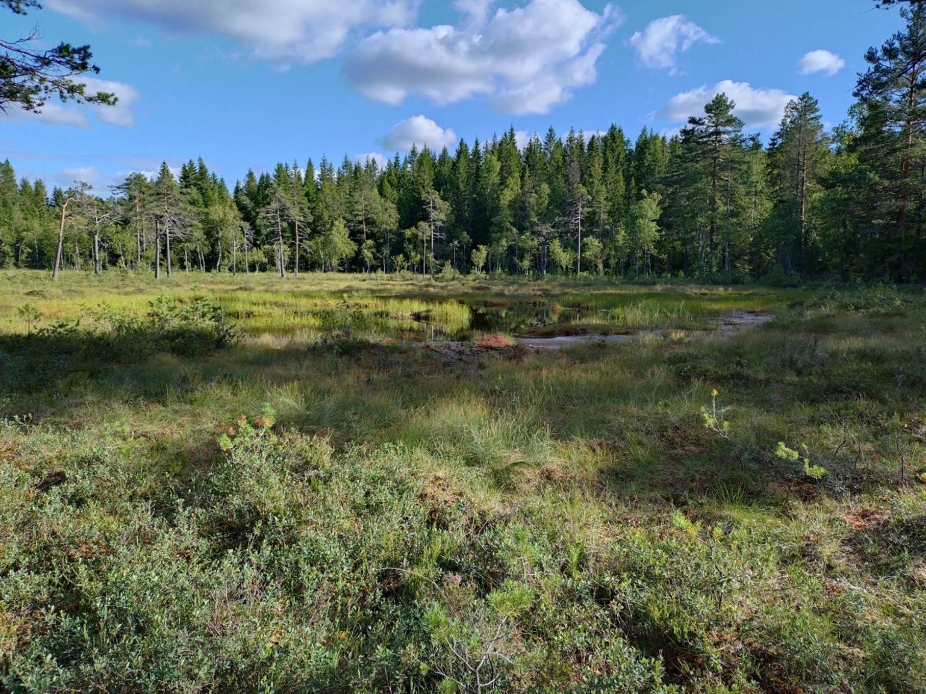
- Mapping and map revision
Using deep neural networks to map wetlands (LAVDAS)
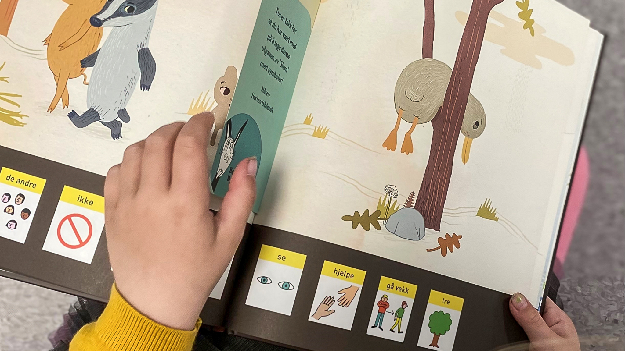
- Digital inclusion
A symbol library for everyone (DEMASK)

- Digital inclusion
Checklist for universally designed cookie banners
- Earth observation
THOR: A foundation model for smarter climate action (FM4CS)
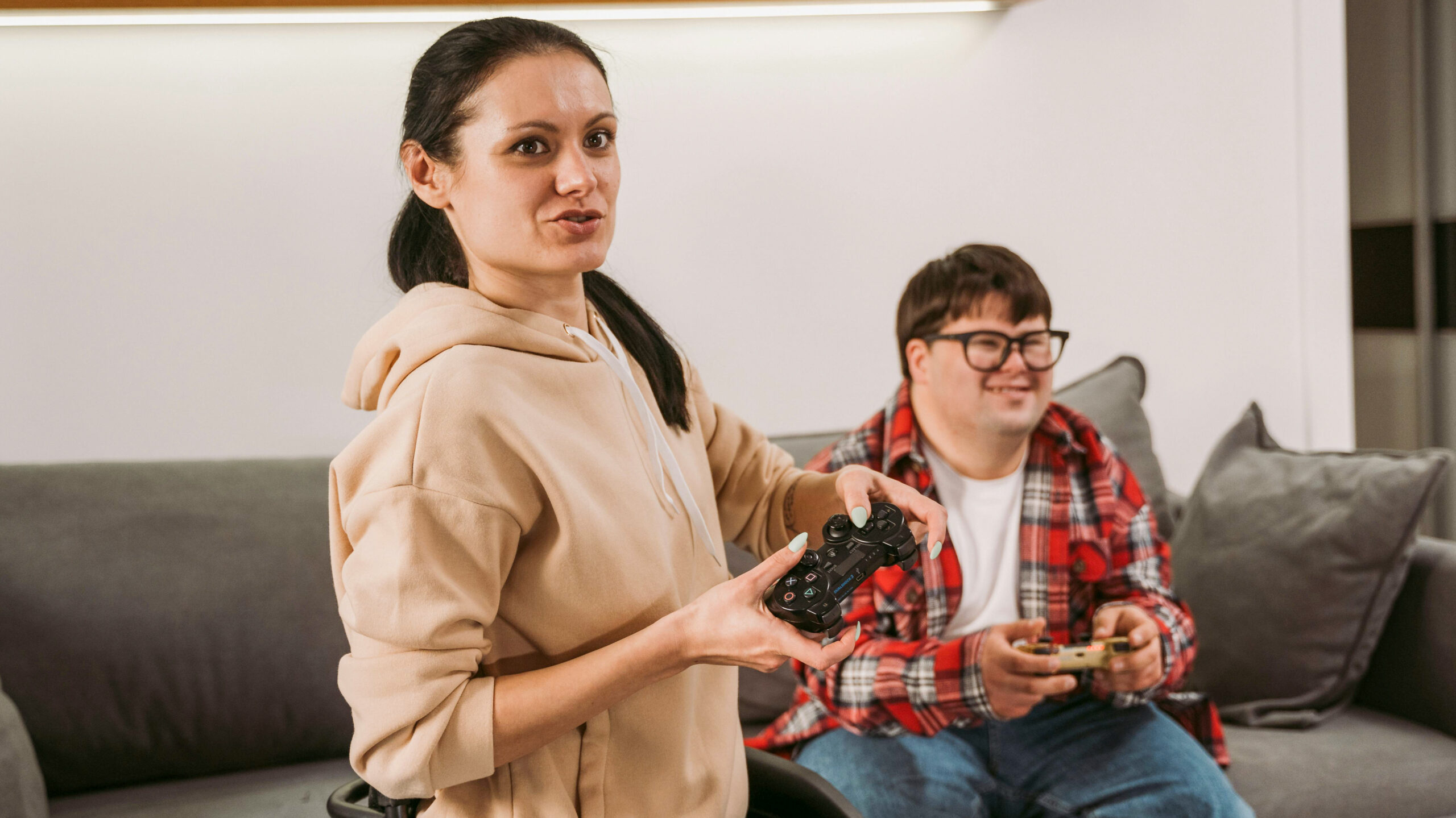
- Digital inclusion
Gaming without barriers (Curb Cut)
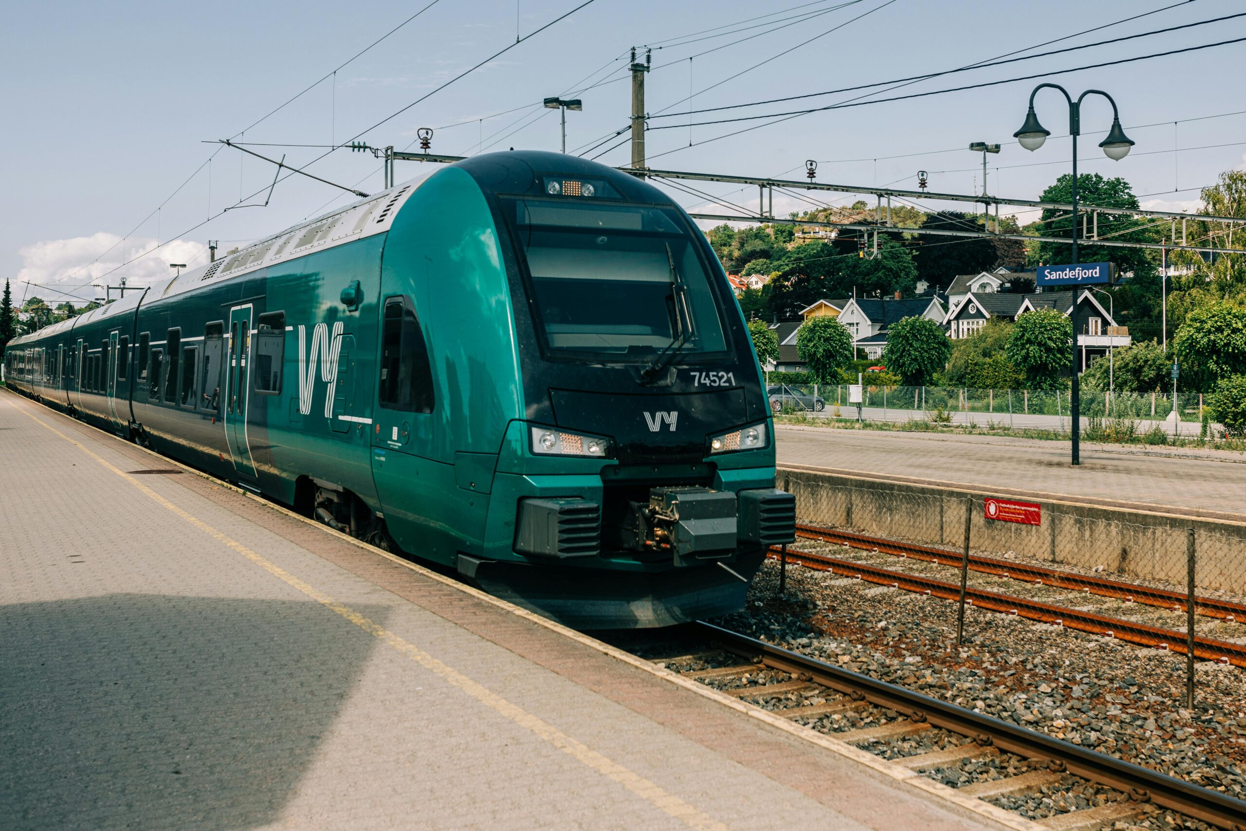
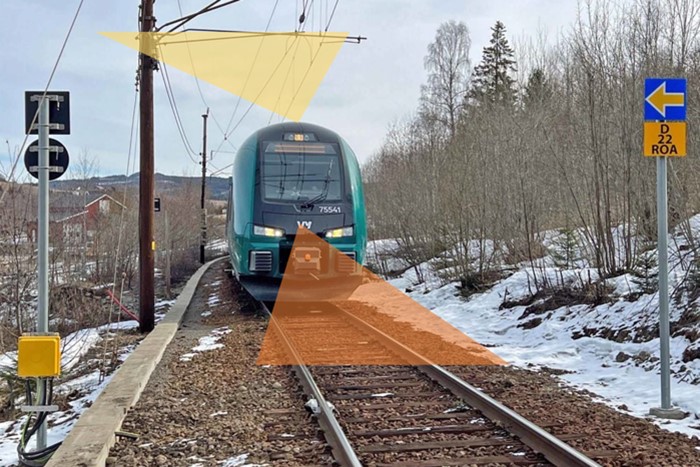
- Image analysis
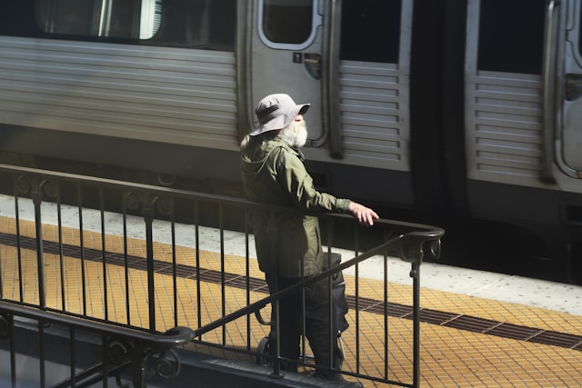
Autonomous train operations with image analysis and machine learning (Europe’s Rail)

- Information and communication technology
- Digital inclusion
- Social robots
Standards for Universal Design of Robots
- Digital inclusion
Digital fraud
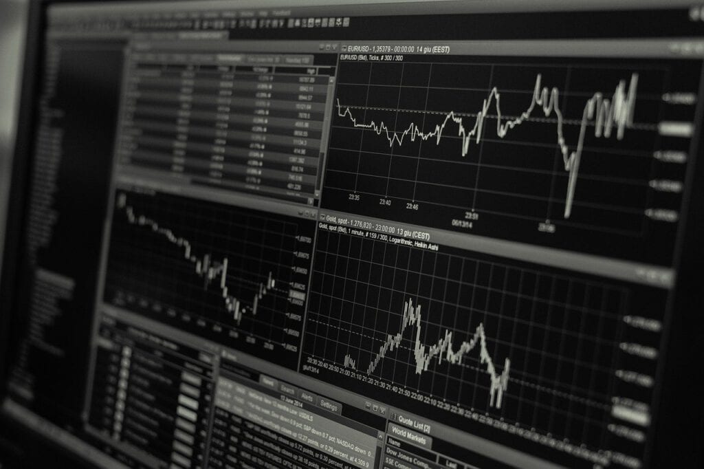
- Statistical modelling
DNB’s total risk assessment model

- Statistical modelling
Climate-sensitive risk modelling for water damage in buildings
- Image analysis
Automating railway inspections (AutoKontroll)

- Digital inclusion
A resource bank for disability simulation
- Digital inclusion
Digitally accessible health videos
- Machine learning
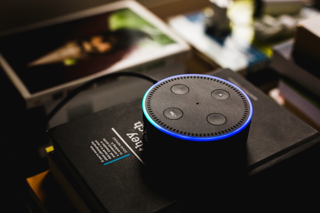
How do we understand machines that talk to us?
- Machine learning
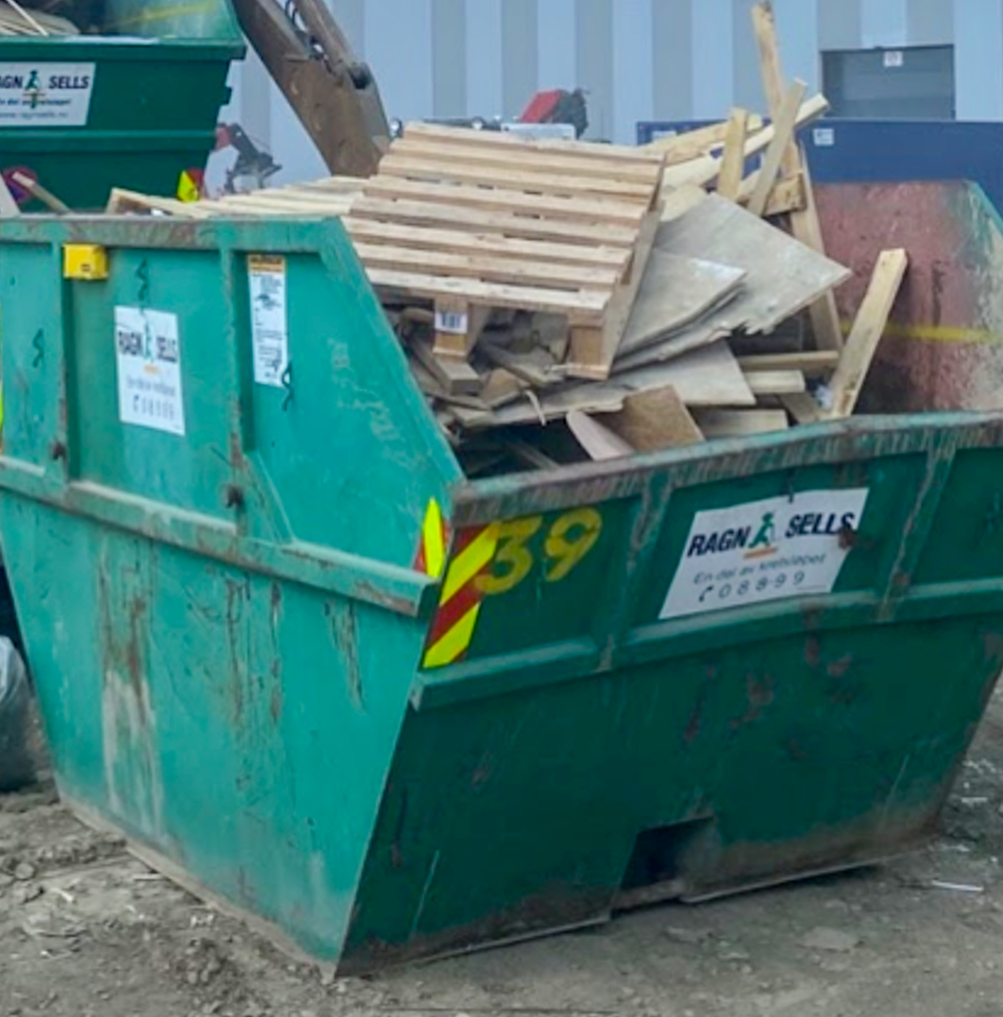
Smarter waste management with machine learning and radar sensors (ReWaCC)

- Digital inclusion
Accessible cookies
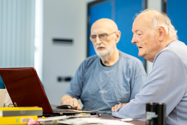
- Digital inclusion
Guidance for mobile elderly