Image analysis and Earth observation
With more than 40 years of experience, NR has developed and adapted algorithms and methodology for image analysis, machine learning and Earth observation. We have practical experience with a wide range of applications, and detection, characterisation and object recognition are central themes in many of our projects. Our methods are used in multiple domains, including healthcare, transport, ocean, climate and environment and technology. Our success lies in simple, yet efficient solutions using methodological approaches that combine prior knowledge, context and observed data.
Image analysis
We work with various types of image data retrieved from cameras and sensors for a wide range of applications, such as healthcare, marine, and transport.
Currently, we are developing methods for automated detection of different diseases. Examples include using machine learning to detect cancer in mammograms and automating cardiac ultrasounds. Both contributions will lead to more efficient diagnostic procedures, subsequently saving time and resources for medical professionals, while maintaining a level of precision and trustworthiness that is fundamental for patient care.
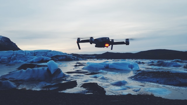
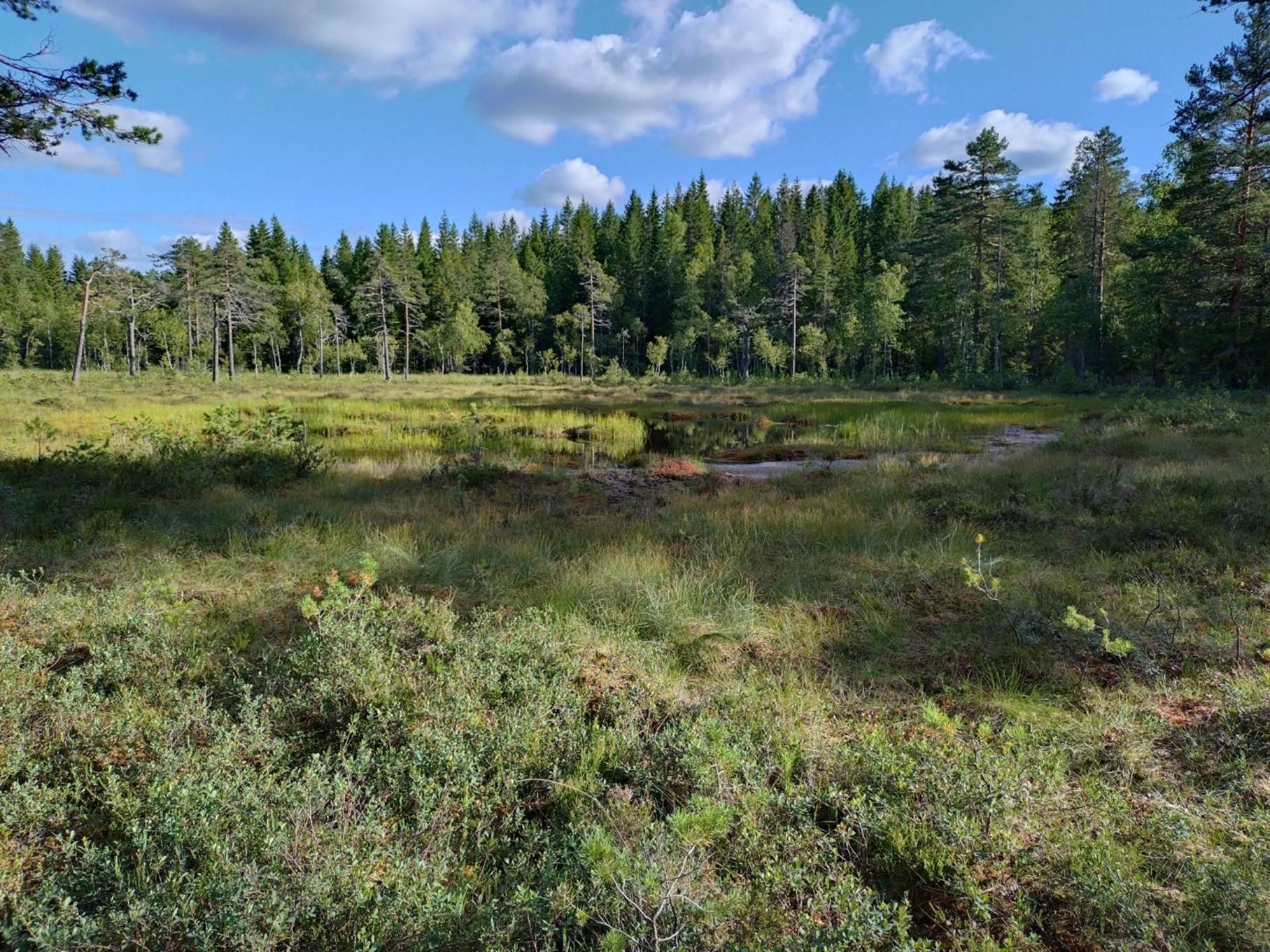
In the marine sector, we use deep learning to develop methods for analysis and extraction of various marine image data, such as underwater videos and images, sonar acoustics, microscopic images and drone images of marine mammals. We work closely with our partners in the marine industry to calculate fish stocks, monitor ecosystems and ensure sustainable fisheries and harvest.
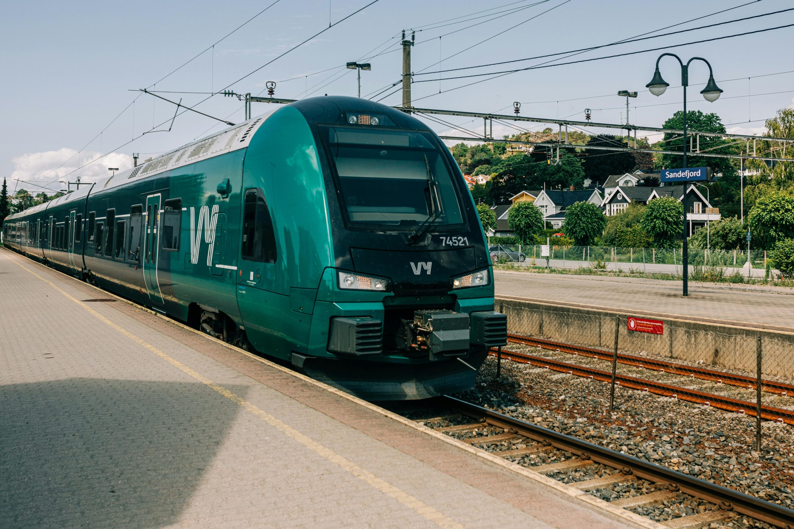
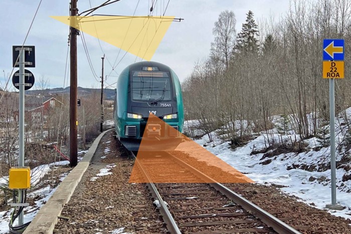
We develop algorithms for infrastructure inspection, such as recognition of faults on trainlines, by analysing images retrieved from cameras situated on trains and drones. Frequent inspections are essential to ensure safe and reliable railway systems, and automation holds great promise for cost reduction and efficiency.
Earth observation
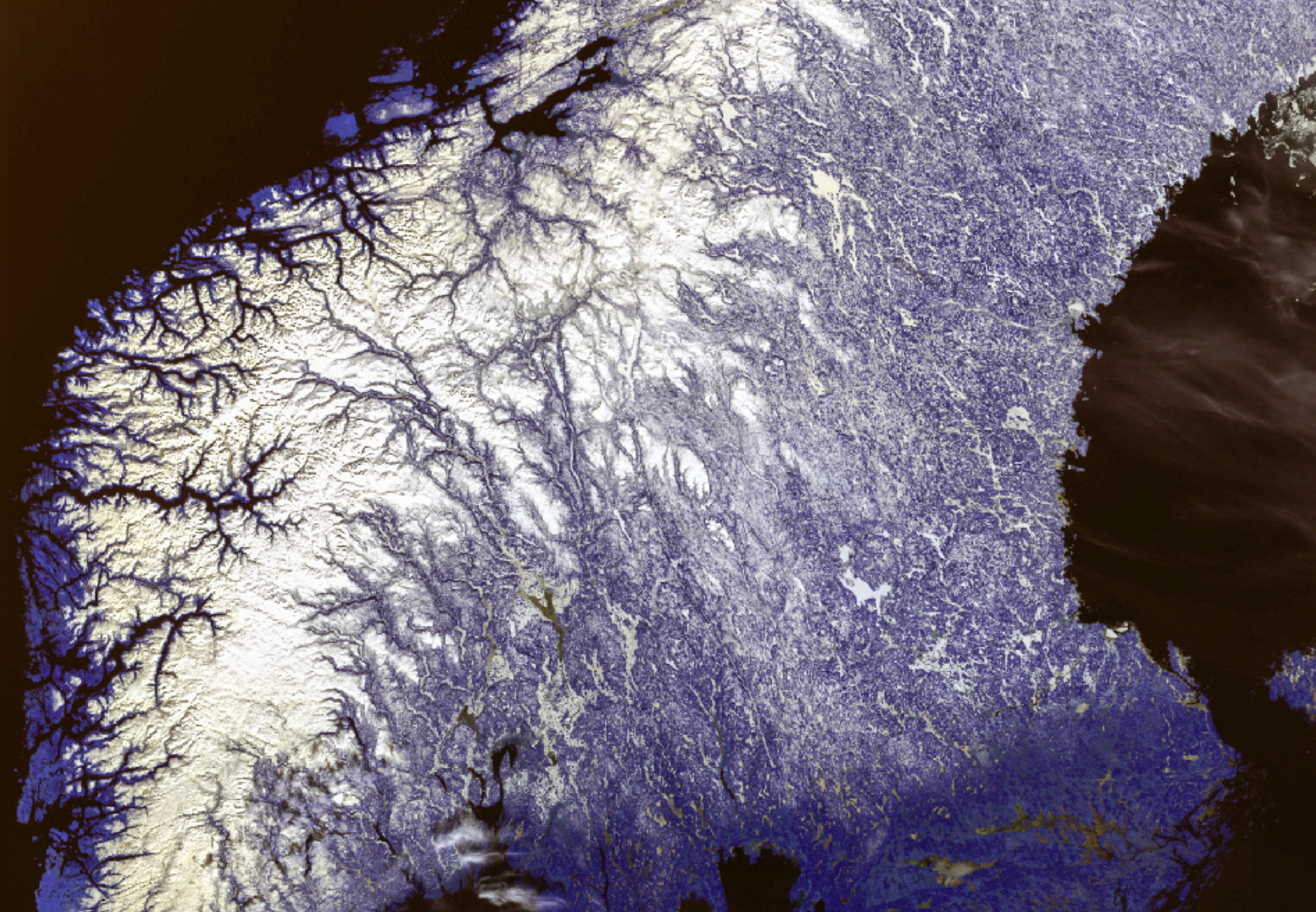
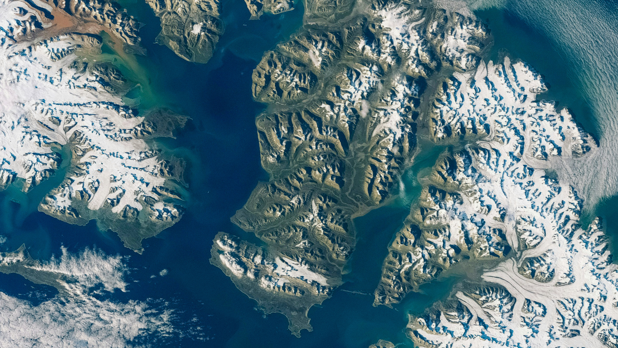
We have been at the forefront of Earth observation in Norway since the 1980s when the country first began to focus on remote sensing via satellites. From then onwards, we have focused on developing methodologies and algorithms for analysis of remotely measured data from satellites, aircraft, and drones.
We develop methods, algorithms and tools for object recognition, classification, and parameter retrieval based on physical modelling. In the last decade, artificial intelligence, particularly deep learning, has expanded the possibilities for remote sensing across an increasing number of application areas. NR took a leading role in this domain early on, and approaches based on deep neural networks are now used in most of our applications.
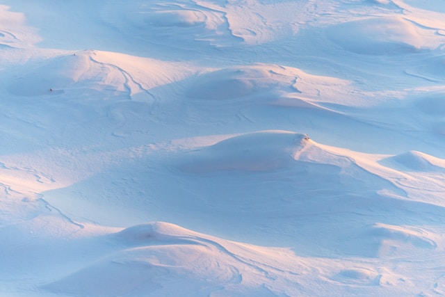
Satellites have provided unprecedented opportunities for fast and repetitive mapping and monitoring of the entire world. For decades, satellites have supplied information about land, sea, atmosphere, and human activities on a daily basis. Initially, data was captured at rough resolution, but we are nearing a point where the entire globe can be mapped daily with a spatial resolution of around one metre. With airborne instruments even finer resolution can be achieved, down to a few centimetres. Drones enable us to observe specific areas and objects with millimetre-level precision.
Our vision is to conduct research and develop applications that lead to improved methods for remote sensing within environment and climate monitoring, and in mapping and monitoring natural resources and human-made objects.
To learn more about our research in image analysis and Earth observation, get in touch.

NR is part of Visual Intelligence –
a Centre for Research-Based Innovation hosted by UiT The Arctic University of Norway.