
Chief Research Scientist
Arnt-Børre Salberg
- Department Image analysis and Earth observation
- Phone number +47 22 85 26 51
- E-mail salberg@nr.no
Projects
- Image analysis and Earth observation
- Climate and Environment
Automated airborne monitoring without radio contact (OceanWatch)
- Earth observation
- Climate and Environment
- Mapping and map revision
Machine learning and human knowledge (KnowEarth)
- Earth observation
Monitoring critical infrastructure using drones (InfraUAS)
- Earth observation
- Climate and Environment
Automated analysis of drone data (SeaBee)
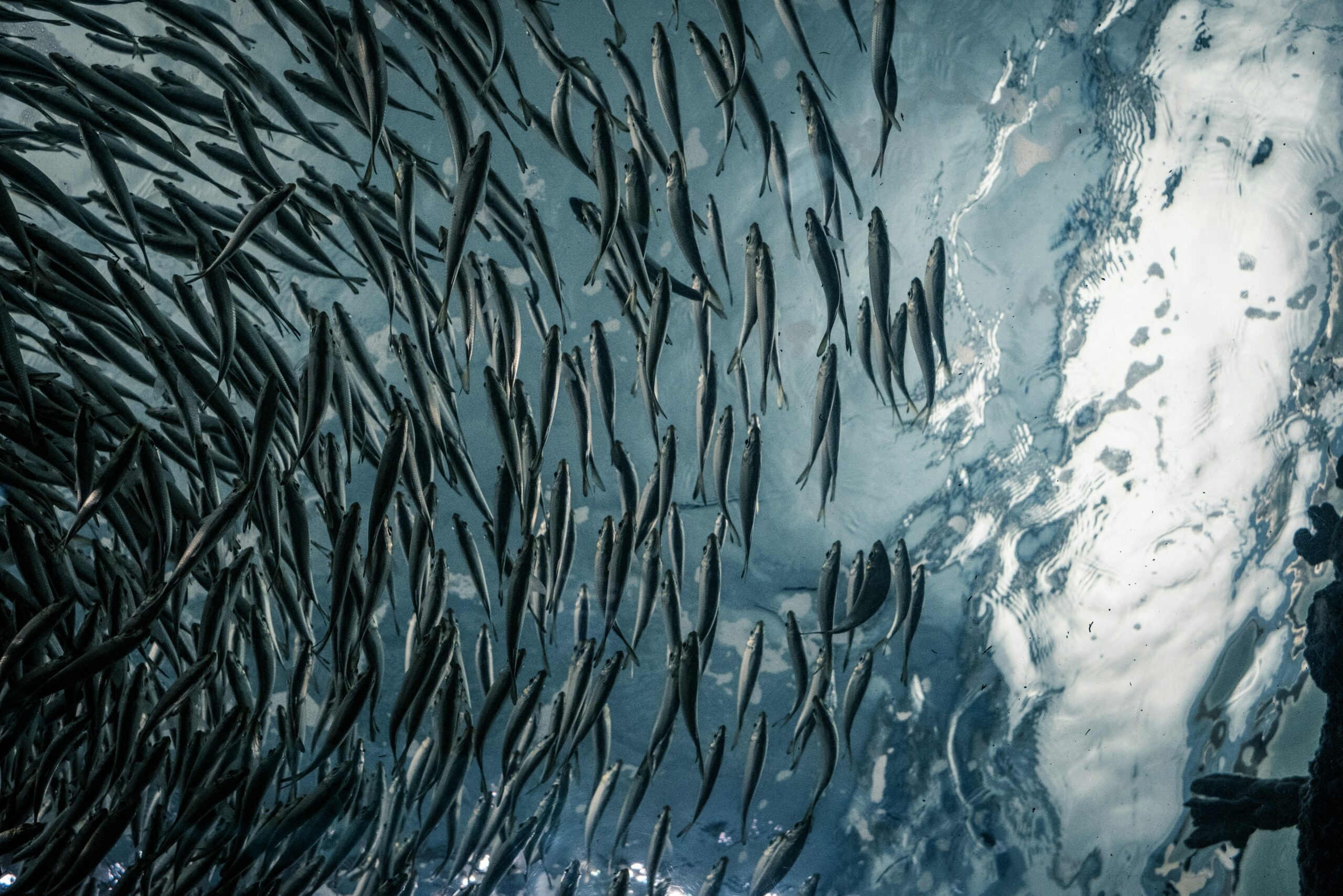
- Image analysis
- Marine image analysis
Advancing marine services with computer vision (COGMAR)
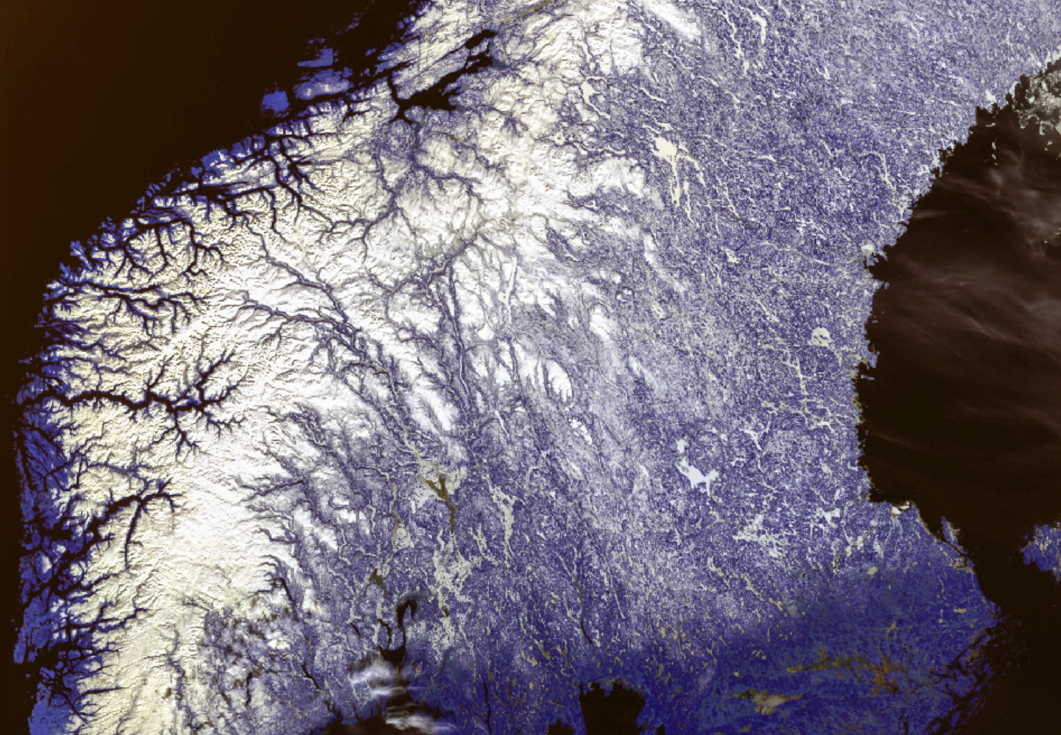
- Earth observation
THOR: A foundation model for smarter climate action (FM4CS)
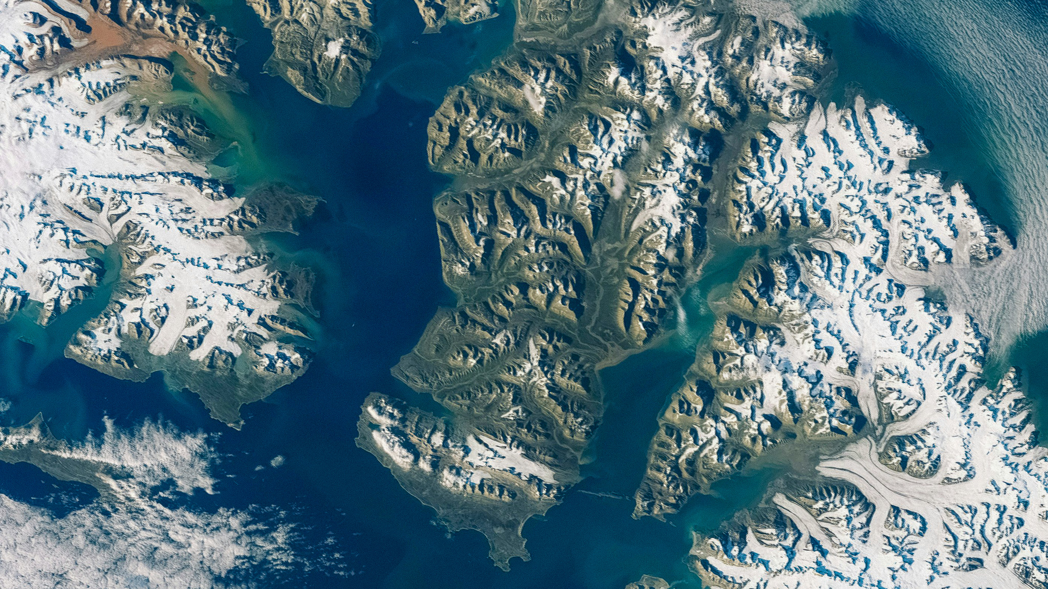
- Image analysis and Earth observation
Sharper satellite images with deep learning (SuperAI)
Publications
- 299 publications found
- Publisher
Investigating the Impact of Feature Reduction for Deep Learning-based Seasonal Sea Ice Forecasting Proceedings of Machine Learning Research (PMLR), (ISSN 2640-3498 ), doi: https://doi.org/https://proceedings.mlr.press/v265/uebbing25a.html , 2025. Scientific article
SeaBee Data Analysis Products 2025. Report
FM4CS - A Versatile Foundation Model for Earth Observation Climate and Society Applications 2025. Scientific lecture
Deep learning methods for acoustic target classification 2025. Other presentation
Hierarchical classification of plankton 2025. Scientific lecture
Hierarchical classification of plankton 2025. Poster
NOFE - Neural Operator Function Embedding 2025. Poster
NOFE Neural Operator Function Embedding doi: https://doi.org/https://ai4eo2025.irisa.fr/ , 2025. Scientific lecture
From pictures to numbers: Multi-species seabird surveys using drone imagery and neural networks Ecological Informatics, vol. 93, (ISSN 1574-9541 1878-0512 ), doi: https://doi.org/10.1016/j.ecoinf.2025.103583 , 2025. Scientific article
DiffFuSR: Super-Resolution of All Sentinel-2 Multispectral Bands Using Diffusion Models IEEE Transactions on Geoscience and Remote Sensing, vol. 63, pp. 1 13 , (ISSN 0196-2892 1558-0644 ), doi: https://doi.org/10.1109/tgrs.2025.3638896 , 2025. Scientific article
Method development for mapping kelp using drones and satellite images: Results from the KELPMAP-Vega project (ISSN 9788257777326 ), , 2024. Report
Drone and ground-truth data collection, image annotation and machine learning: A protocol for coastal habitat mapping and classification MethodsX, vol. 13, pp. 1 19 , (ISSN 2215-0161 ), doi: https://doi.org/10.1016/j.mex.2024.102935 , 2024. Scientific article
Diffusion Models with Cross-Modal Data for Super-Resolution of Sentinel-2 To 2.5 Meter Resolution IEEE International Geoscience and Remote Sensing Symposium proceedings, pp. 1103 1107 , (ISSN 2153-6996 2153-7003 ), doi: https://doi.org/10.1109/IGARSS53475.2024.10641882 , 2024. Scientific article
DIB-X: Formulating Explainability Principles for a Self-Explainable Model Through Information Theoretic Learning Proceedings of the IEEE International Conference on Acoustics, Speech and Signal Processing, pp. 7170 7174 , (ISSN 1520-6149 2379-190X ), doi: https://doi.org/10.1109/ICASSP48485.2024.10447094 , 2024. Scientific article
Full klaff for KI-konferansen i Tromsø uit.no, , 2024. Science for the public article
Foundation Models for Arctic Earth Observation 2024. Scientific lecture
Foundation Models for Earth Observation 2024. Scientific lecture
National-Scale Detection of New Forest Roads in Sentinel-2 Time Series Remote Sensing, vol. 16, (ISSN 2072-4292 ), doi: https://doi.org/10.3390/rs16213972 , 2024. Scientific article
Kartlegging av marine naturtyper - KELPMAP prosjektet , 2024. Lecture
Evaluating drone imaging and AI for mapping seagrass distribution and ecosystem services 2024. Scientific lecture
Bildeanalyse og KI 2024. Lecture
Bildeanalyse og AI 2024. Lecture
Diffusion Models with Cross-Modal Data for Super-Resolution of Sentinel-2 To 2.5 Meter Resolution 2024. Scientific lecture
EO Foundation Model. Foundation Models for Climate and Society. Deliverable D1.1 Milestone 1 2024. Report
Bildeanalyse og KI , 2024. Lecture
SeaBee's bildeanalyser og AI , 2024. Lecture
Uncertainties of Satellite-based Essential Climate Variables from Deep Learning arXiv, doi: https://doi.org/10.48550/ARXIV.2412.17506 , 2024. Scientific review article
Deep Semisupervised Semantic Segmentation in Multifrequency Echosounder Data IEEE Journal of Oceanic Engineering, vol. 48, pp. 384 400 , (ISSN 0364-9059 1558-1691 ), doi: https://doi.org/10.1109/JOE.2022.3226214 , 2023. Scientific article
Learning from weakly labelled marine acoustic data 2023. Poster
Learning from weakly labelled marine acoustic data 2023. Scientific lecture
Trends in deep learning 2023. Scientific lecture
Uncertainty in deep neural networks 2023. Scientific lecture
Snow ECV - Snow Cover Fraction 2023. Scientific lecture
New 38-Year Time Series of Daily, Global Fractional Snow Cover Maps 2023. Scientific lecture
Lorna Little; Mapping the Norwegian coast using Artificial Intelligence and drone images , 2023. Website material
Detection of forest roads in Sentinel-2 images using U-Net 2022. Scientific lecture
Automatic Fish Age Determination across Different Otolith Image Labs Using Domain Adaptation Fishes, vol. 7, pp. 1 16 , (ISSN 2410-3888 ), doi: https://doi.org/10.3390/fishes7020071 , 2022. Scientific article
Detection of forest roads in Sentinel-2 images using U-Net Proceedings of the Northern Lights Deep Learning Workshop, vol. 3, (ISSN 2703-6928 ), doi: https://doi.org/10.7557/18.6246 , 2022. Scientific article
Yi Liu; Qinghui Liu; James Edward Sample; Kasper Hancke; Arnt-Børre Salberg; COASTAL HABITAT MAPPING WITH UAV MULTI-SENSOR DATA: AN EXPERIMENT AMONG DCNN-BASED APPROACHES ISPRS Annals of the Photogrammetry, Remote Sensing and Spatial Information Sciences, vol. V-3-2022, pp. 439 445 , (ISSN 2194-9042 2194-9050 ), doi: https://doi.org/10.5194/isprs-annals-V-3-2022-439-2022 , 2022. Scientific article
Coastal habitat mapping with UAV multi-sensor data: an experiment among DCNN-based approaches ISPRS Annals of the Photogrammetry, Remote Sensing and Spatial Information Sciences, vol. V-3-2022, pp. 439 445 , (ISSN 2194-9042 2194-9050 ), doi: https://doi.org/10.5194/isprs-annals-V-3-2022-439-2022 , 2022. Scientific article
DeepOtolith v1.0: An Open-Source AI Platform for Automating Fish Age Reading from Otolith or Scale Images Fishes, vol. 7, (ISSN 2410-3888 ), doi: https://doi.org/10.3390/fishes7030121 , 2022. Scientific article
An online otolith age reader using deep neural networks: Perspectives and challenges 2022. Scientific lecture
Forest mapping and monitoring in Africa using Sentinel-2 data and deep learning International Journal of Applied Earth Observation and Geoinformation, vol. 111, pp. 1 13 , (ISSN 1569-8432 1872-826X ), doi: https://doi.org/10.1016/j.jag.2022.102840 , 2022. Scientific article
Introduction to convolutional neural networks 2022. Lecture
Trends in deep learning 2022. Lecture
Making sense of AI models 2022. Lecture
Detection of nature interventions in Sentinel-2 images of Norway using U-Net 2022. Scientific lecture
Multi-modal land cover mapping of remote sensing images using pyramid attention and gated fusion networks International Journal of Remote Sensing, vol. 43, pp. 3509 3535 , (ISSN 0143-1161 1366-5901 ), doi: https://doi.org/10.1080/01431161.2022.2098078 , 2022. Scientific article
A new 38-year time series of daily, global fractional snow cover maps 2022. Scientific lecture
Self-constructing graph neural networks to model long-range pixel dependencies for semantic segmentation of remote sensing images International Journal of Remote Sensing, vol. 42, pp. 6184 6208 , (ISSN 0143-1161 1366-5901 ), doi: https://doi.org/10.1080/01431161.2021.1936267 , 2021. Scientific article
PAGNet Models for The 2nd Agriculture-Vision Challenges CVPR 2021 2021. Scientific lecture
Semi-supervised target classification in multi-frequency echosounder data ICES Journal of Marine Science, vol. 78, pp. 2615 2627 , (ISSN 1054-3139 1095-9289 ), doi: https://doi.org/10.1093/icesjms/fsab140 , 2021. Scientific article
Machine Learning + Marine Science: Critical Role of Partnerships in Norway Journal of Ocean Technology, vol. 16, pp. 1 9 , (ISSN 1718-3200 1718-3219 ), , 2021. Article journal
Deep domain adaptation applied to automatic fish age prediction 2021. Scientific lecture
Driftspilot naturinngrep 2021. Report
Estimating Traffic in Urban Areas from Very-High Resolution Aerial Images International Journal of Remote Sensing, vol. 42, pp. 865 883 , (ISSN 0143-1161 1366-5901 ), doi: https://doi.org/10.1080/01431161.2020.1815891 , 2021. Scientific article
Final report. AI4Arctic Deliverable 6 2021. Report
A new climate snow cover record based on ATSR-2 and AATSR 2021. Scientific lecture
Rune Solberg; Arnt Børre Salberg; Øyvind Due Trier; Bruker kunstig intelligens for å oppdage forurensning og naturforringelse , 2021. Media interview
Machine intelligence and the data-driven future of marine science ICES Journal of Marine Science, (ISSN 1054-3139 1095-9289 ), doi: https://doi.org/10.1093/icesjms/fsz057 , 2020. Scientific article
Acoustic classification in multifrequency echosounder data using deep convolutional neural networks ICES Journal of Marine Science, vol. 77, pp. 1391 1400 , (ISSN 1054-3139 1095-9289 ), doi: https://doi.org/10.1093/icesjms/fsz235 , 2020. Scientific article
Dense dilated convolutions merging network for land cover classification IEEE Transactions on Geoscience and Remote Sensing, vol. 58, pp. 6309 6320 , (ISSN 0196-2892 1558-0644 ), doi: https://doi.org/10.1109/TGRS.2020.2976658 , 2020. Scientific article
MSCG-Net Models for The 1st Agriculture-Vision Challenge CVPR 2020 2020. Scientific lecture
MSCG-Net with Adaptive Class Weighting Loss for Semantic Segmentation , 2020. Scientific lecture
Kartlegging av naturinngrep. Sluttrapport 2020. Report
Multi-View Self-Constructing Graph Convolutional Networks With Adaptive Class Weighting Loss for Semantic Segmentation pp. 199 205 , doi: https://doi.org/10.1109/CVPRW50498.2020.00030 , 2020. Scientific chapter / article / conference article
Explaining decisions of deep neural networks used for fish age prediction PLOS ONE, vol. 15, (ISSN 1932-6203 ), doi: https://doi.org/10.1371/journal.pone.0235013 , 2020. Scientific article
SCG-Net for Semantic Labeling , 2020. Scientific lecture
Automatisk bildetolkning ved hjelp av AI 2020. Lecture
Making sense of deep CNNs for image recognition applications 2020. Scientific lecture
The 1st Agriculture-Vision Challenge: Methods and Results pp. 212 218 , doi: https://doi.org/10.1109/CVPRW50498.2020.00032 , 2020. Scientific chapter / article / conference article
Deteksjon av veier i Sentinel-2 med U-Net. Fjernmåling av endringer i inngrepsfri natur. 2020. Scientific lecture
Deteksjon av veier med Sentinel. Fjernmåling av endringer i inngrepsfri natur. 2020. Scientific lecture
Maskinlæring og jordobservasjon 2020. Lecture
Software package: AI4Arctic Deliverable 4 2020. Report
ICT requirements and API. AI4Arctic Deliverable 2 2020. Report
Mid-term report. AI4Arctic Deliverable 5. , 2020. Report
Large-Scale Vegetation Height Mapping from Sentinel Data Using Deep Learning doi: https://doi.org/10.1109/IGARSS39084.2020.9323815 , 2020. Scientific chapter / article / conference article
Self-Constructing Graph Convolutional Networks for Semantic Labeling doi: https://doi.org/10.1109/IGARSS39084.2020.9324719 , 2020. Scientific chapter / article / conference article
Dense Dilated Convolutions Merging Network for Semantic Mapping of Remote Sensing Images pp. 1 4 , doi: https://doi.org/10.1109/JURSE.2019.8809046 , 2019. Scientific chapter / article / conference article
Metodikk for ÅDT-belegging - forslag til løsning 2019. Lecture
Michael C. Kampffmeyer; Sigurd Løkse; Filippo Maria Bianchi; Lorenzo Livi; Arnt Børre Salberg; et al. Deep divergence-based approach to clustering Neural Networks, vol. 113, pp. 91 101 , (ISSN 0893-6080 1879-2782 ), doi: https://doi.org/10.1016/j.neunet.2019.01.015 , 2019. Scientific article
Flood detection in Norway based on Sentinel-1 SAR imagery International Archives of Photogrammetry, Remote Sensing and Spatial Information Sciences, vol. XLII-3/W8, pp. 349 355 , (ISSN 1682-1750 2194-9034 ), doi: https://doi.org/10.5194/isprs-archives-XLII-3-W8-349-2019 , 2019. Scientific article
Kunstig intelligens finner skjulte kulturminner Aftenposten (morgenutg. : trykt utg.), pp. 24 25 , (ISSN 0804-3116 0807-2027 ), 2019. Science for the public article
Road Mapping in Lidar Images Using a Joint-Task Dense Dilated Convolutions Merging Network pp. 5041 5044 , doi: https://doi.org/10.1109/IGARSS.2019.8900082 , 2019. Scientific chapter / article / conference article
The COGMAR project 2019. Scientific lecture
DDCM Network for Semantic Mapping of Remote Sensing Images , 2019. Scientific lecture
Road Mapping in Lidar Images Using a Joint-Task Dense Dilated Convolutions Merging Network , 2019. Scientific lecture
Landslide detection and mapping by remote sensing 2019. Scientific lecture
Kartlegging av naturinngrep. Foreløpig rapport 2019. Report
Algorithms for flood detection and mapping by SAR. Algorithm Theoretical Basis Document, Flood Service System at NVE 2019. Report
Deep learning in seismic interpretation 2019. Report
Michael C. Kampffmeyer; Arnt Børre Salberg; Robert Jenssen; Urban land cover classification with missing data modalities using deep convolutional neural networks IEEE Journal of Selected Topics in Applied Earth Observations and Remote Sensing, vol. 11, pp. 1758 1768 , (ISSN 1939-1404 2151-1535 ), doi: https://doi.org/10.1109/JSTARS.2018.2834961 , 2018. Scientific article
Tree species classification in Norway from airborne hyperspectral and airborne laser scanning data European Journal of Remote Sensing, vol. 51, pp. 336 351 , (ISSN 2279-7254 ), doi: https://doi.org/10.1080/22797254.2018.1434424 , 2018. Scientific article
Multi-sensor forest vegetation height mapping methods for Tanzania European Journal of Remote Sensing, vol. 51, pp. 587 606 , (ISSN 2279-7254 ), doi: https://doi.org/10.1080/22797254.2018.1461533 , 2018. Scientific article
Classification of Ocean Surface Slicks in SimulatedHybrid-Polarimetric SAR Data IEEE Transactions on Geoscience and Remote Sensing, vol. 56, pp. 7062 7073 , (ISSN 0196-2892 1558-0644 ), doi: https://doi.org/10.1109/TGRS.2018.2847724 , 2018. Scientific article
Semi-automatic mapping of charcoal kilns from airborne laser scanning data using deep learning pp. 219 231 , 2018. Scientific chapter / article / conference article
A Comparison of Deep Learning Architectures for Semantic Mapping of Very High Resolution Images pp. 6943 6946 , doi: https://doi.org/10.1109/IGARSS.2018.8518533 , 2018. Scientific chapter / article / conference article
AI4EO Challenges in the context of the Great Green Wall Initiative 2018. Scientific lecture
Experiences from 5 years of using deep learning within Earth observation 2018. Scientific lecture
Maskinlæring og jordobservasjon 2018. Scientific lecture
Panel discussion: Generalization and transferability in Deep Learning 2018. Scientific lecture
Urban Traffic Density Estimation for Air Pollution Modelling using Deep Neural Networks 2018. Scientific lecture
Local and regional trends in snow cover from a 34-year time series of satellite observations 2018. Scientific lecture
Sentinel4Nature: Estimating environmental gradients and properties using remote sensing (ISSN 9788242632838 ), 2018. Report
A New Value Chain for Earth Observation. Research agenda for AI and ML and the role of ESA 2018. Report
Further advancement of global snow mapping in CryoClim. Sentinel4CryoClim Phase 2 - Deliverables 1, 3-7 2018. Report
AI & deep learning: what´s next in Earth observation 2017. Lecture
Sigurd Løkse; Filippo Maria Bianchi; Arnt Børre Salberg; Robert Jenssen; Spectral clustering using PCKID ? A probabilistic cluster kernel for incomplete data Lecture Notes in Computer Science (LNCS), vol. 10269 LNCS, pp. 431 442 , (ISSN 0302-9743 1611-3349 ), doi: https://doi.org/10.1007/978-3-319-59126-1_36 , 2017. Scientific article
Remote sensing of snow wetness in Romania by Sentinel-1 and Terra MODIS data Romanian Journal of Physics, vol. 62, (ISSN 1221-146X ), , 2017. Scientific article
Arnt Børre Salberg; Øivind Due Trier; Michael C. Kampffmeyer; Large-Scale Mapping of Small Roads in Lidar Images Using Deep Convolutional Neural Networks pp. 193 204 , doi: https://doi.org/10.1007%2F978-3-319-59129-2_17 , 2017. Scientific chapter / article / conference article
Urban land cover classification with missing data using deep convolutional neural networks pp. 5161 5164 , doi: https://doi.org/10.1109/IGARSS.2017.8128164 , 2017. Scientific chapter / article / conference article
Deep divergence-based clustering doi: https://doi.org/10.1109/MLSP.2017.8168158 , 2017. Scientific chapter / article / conference article
Urban land cover classification with missing data using deep convolutional neural networks , 2017. Scientific lecture
Remote sensing of snow wetness using Sentinel: a multisensor approach 2017. Scientific lecture
Local and regional trends in snow cover from a 34-year time series of satellite observations 2017. Scientific lecture
Earth observation big data and machine learning activities at Norsk Regnesentral 2017. Scientific lecture
Multi-sensor/multi-temporal prototype wet snow product – Version 2, SnowBall WP3, Deliverable D3.4 2017. Report
Advancement of global snow mapping in CryoClim, Sentinel4CryoClim Phase 1, Deliverables 1-6. 2017. Report
Semi-automatic detection of ice breeding seal pups 2017. Report
Semantic Segmentation of Small Objects and Modeling of Uncertainty in Urban Remote Sensing Images Using Deep Convolutional Neural Networks IEEE Computer Society Conference on Computer Vision and Pattern Recognition Workshops (CVPRW), pp. 680 688 , (ISSN 2160-7508 2160-7516 ), doi: https://doi.org/10.1109/CVPRW.2016.90 , 2016. Scientific article
Oil spill characterization in the hybrid-polarity SAR domain using log-cumulants Proceedings of SPIE, the International Society for Optical Engineering, vol. 10004, (ISSN 0277-786X 1996-756X ), doi: https://doi.org/10.1117/12.2241098 , 2016. Scientific article
En revolusjon innen maskinlæring 2016. Article feature
Automatic detection and mapping of avalanches in SAR images pp. 689 692 , doi: https://doi.org/10.1109/IGARSS.2016.7729173 , 2016. Scientific chapter / article / conference article
Semi-automatic mapping of cultural heritage from airborne laser scanning using deep learning 2016. Scientific lecture
Deep learning: a powerful tool to solve your computer vision problems 2016. Scientific lecture
Deep learning 2016. Scientific lecture
Single and multi-sensor snow wetness mapping by Sentinel-1 and Sentinel-3 data 2016. Scientific lecture
Preparing for a national service for flood monitoring using Sentinel-1 2016. Scientific lecture
Deep learning: machine learning meets big data 2016. Scientific lecture
Single- and multi-sensor snow wetness mapping by Sentinel-1 and MODIS data 2016. Scientific lecture
Traffic statistics from very high resolution satellite images 2016. Scientific lecture
Martine Espeseth; Stine Skrunes; Camilla Brekke; Arnt Børre Salberg; Cathleen Jones; et al. Oil spill characterization in the hybrid-polarity SAR domain using log-cumulants , 2016. Scientific lecture
Semi-automatic detection of charcoal kilns from airborne laser scanning data 2016. Scientific lecture
Sentinel4Nature: Estimating environmental gradients and properties using remote sensing (ISSN 9788242628671 ), 2016. Report
Automatic mapping of forest roads 2016. Report
Application of remote sensing in cultural heritage management. CultSearcher project report 2015 , 2016. Report
A gentle introduction to deep learning 2015. Lecture
Detection of seals in remote sensing images using features extracted from deep convolutional neural networks pp. 1893 1896 , doi: https://doi.org/10.1109/IGARSS.2015.7326163 , 2015. Scientific chapter / article / conference article
Global snow cover mapping using a multi-temporal multi-sensor approach 2015. Scientific lecture
Advancements and validation of the global CryoClim snow cover extent product 2015. Scientific lecture
State-of-the-art review of oil spill detection using optical and thermal remote sensing data 2015. Report
Validated wet snow retrieval algorithms 2015. Report
Oil spill detection in hybrid-polarimetric SAR images Petroleum Abstracts (PA), vol. 55, pp. 97 97 , (ISSN 0031-6423 2153-1471 ), 2015. Abstract
Oil spill detection in hybrid-polarimetric SAR images IEEE Transactions on Geoscience and Remote Sensing, vol. 52, pp. 6521 6533 , (ISSN 0196-2892 1558-0644 ), doi: https://doi.org/10.1109/TGRS.2013.2297193 , 2014. Scientific article
Classification of ocean surface slicks in hybrid-polarimetric SAR data Proceedings of SPIE, the International Society for Optical Engineering, vol. 9244, (ISSN 0277-786X 1996-756X ), doi: https://doi.org/10.1117/12.2067474 , 2014. Scientific article
Oil spill detection and classification in hybrid-polarimetric SAR images 2014. Scientific lecture
A new multi-sensor multi-temporal global snow cover product based on satellite data 2014. Scientific lecture
A new global snow cover product based on multi-sensor multi-temporal satellite data 2014. Scientific lecture
Object-based multi-sensor data fusion of satellite and aerial images for modeling mountain nature 2014. Scientific lecture
Benchmark test results of final processing chains - EU FP-7 project SeaU, Deliverable 15.2 2014. Report
Automatic system for operational traffic monitoring using very-high-resolution satellite imagery International Journal of Remote Sensing, vol. 34, pp. 4850 4870 , (ISSN 0143-1161 1366-5901 ), doi: https://doi.org/10.1080/01431161.2013.782708 , 2013. Scientific article
Fusion of satellite and aerial images for identification and modeling of nature types Proceedings of SPIE, the International Society for Optical Engineering, vol. 8892, (ISSN 0277-786X 1996-756X ), doi: https://doi.org/10.1117/12.2029003 , 2013. Scientific article
Multisource oil spill detection Proceedings of SPIE, the International Society for Optical Engineering, vol. 8892, (ISSN 0277-786X 1996-756X ), doi: https://doi.org/10.1117/12.2029208 , 2013. Scientific article
Semi-automatic detection of rainfall-triggered landslides in segmented optical satellite images pp. 254 257 , doi: https://doi.org/10.1109/JURSE%23.2013.6550713 , 2013. Scientific chapter / article / conference article
Multisensor satellite technologies for oil pollution monitoring and source identification 2013. Scientific lecture
Automatic avalanche mapping using texture classification of optical satellite imagery 2013. Scientific lecture
Signal and image processing for ultrasound camera 2013. Report
Evaluation of SWE retrieved from satellite PMR data for three catchments in Hardangervidda 2013. Report
TEMPORAL ANALYSIS OF MULTISENSOR DATA FOR FOREST CHANGE DETECTION USING HIDDEN MARKOV MODELS IEEE Geoscience and Remote Sensing Letters, pp. 6749 6752 , (ISSN 1545-598X 1558-0571 ), 2012. Scientific article
Model based oil spill detection using polarimetric SAR IEEE Geoscience and Remote Sensing Letters, pp. 5884 5887 , (ISSN 1545-598X 1558-0571 ), doi: https://doi.org/10.1109/IGARSS.2012.6352270 , 2012. Scientific article
Land-cover classification of partly missing data using support vector machines International Journal of Remote Sensing, vol. 33, pp. 4471 4481 , (ISSN 0143-1161 1366-5901 ), doi: https://doi.org/10.1080/01431161.2011.648378 , 2012. Scientific article
Operational Traffic Monitoring Using Very High Resolution Satellite Imagery pp. 608 617 , doi: https://doi.org/10.1080/01431161.2013.782708 , 2012. Scientific chapter / article / conference article
TEMPORAL ANALYSIS OF MULTISENSOR DATA FOR FOREST CHANGE DETECTION USING HIDDEN MARKOV MODELS pp. 6749 6752 , doi: https://doi.org/10.1109/igarss.2012.6352556 , 2012. Scientific chapter / article / conference article
Model based oil spill detection using polarimetric SAR pp. 5884 5887 , doi: https://doi.org/10.1109/IGARSS.2012.6352270 , 2012. Scientific chapter / article / conference article
Object-based cloud and cloud shadow detection in Landsat images for tropical forest monitoring pp. 326 331 , , 2012. Scientific chapter / article / conference article
Current Advances in SAR Remote Sensing of Oil Slicks and a Look-Ahead 2012. Scientific lecture
Experiments with remote sensing in the context of avalanche warning and detection 2012. Scientific lecture
Remote-Sensing Derived Avalanche Inventory Data , 2012. Scientific lecture
Oil spill detection in compact polarimetry SAR images 2012. Scientific lecture
Cloud and cloud shadow detection in Landsat images for monitoring tropical forests in Tanzania 2012. Report
SatTrafikk Project report 2011 , 2012. Report
Land Cover Classification of Cloud-Contaminated Multitemporal High-Resolution Images IEEE Transactions on Geoscience and Remote Sensing, vol. 49, pp. 377 387 , (ISSN 0196-2892 1558-0644 ), doi: https://doi.org/10.1109/TGRS.2010.2052464 , 2011. Scientific article
Automated extraction of traffic information from satellite imagery pp. 5 8 , , 2011. Scientific chapter / article / conference article
Temporal analysis of forest cover using hidden Markov models pp. 2322 2325 , doi: https://doi.org/10.1109/igarss.2011.6049674 , 2011. Scientific chapter / article / conference article
Automatic vehicle counts from QuickBird images pp. 9 12 , doi: https://doi.org/10.1109/jurse.2011.5764706 , 2011. Scientific chapter / article / conference article
Retraining maximum likelihood classifiers using a low-rank model pp. 166 169 , doi: https://doi.org/10.1109/igarss.2011.6048958 , 2011. Scientific chapter / article / conference article
Metodikk for trafikkstatistikk. Del I: Grunnleggende beregninger. Del II: Satellitter 2011. Scientific lecture
The CryoClim system for cryospheric climate monitoring , 2011. Scientific lecture
Time-series analysis of satellite images for forest cover change monitoring in Tanzania 2011. Scientific lecture
Automatic detection of avalanches in high resolution optical satellite data 2011. Scientific lecture
Bayesian model for snow retrieval from SSM/I data 2011. Scientific lecture
Time-series analysis of satellite images for forest cover change monitoring in Tanzania 2011. Scientific lecture
Service Implementation Document – Deliverable 3. ESA project report, AvalRS, ESRIN/Contract No. 22139/08/I-EC 2011. Report
Benchmark test results – initial chains 2011. Report
Estimation of Pup Production of Hooded and Harp Seals in the Greenland Sea in 2007: Reducing Uncertainty Using Generalized Additive Models Journal of Northwest Atlantic Fishery Science, vol. 42, (ISSN 0250-6408 1813-1859 ), doi: https://doi.org/10.2960/J.v42.m642 , 2010. Scientific article
DUE avalRS: Remote-Sensing Derived Avalanche Inventory Data for Decision Support and Hind-Cast after Avalanche Events , 2010. Scientific chapter / article / conference article
Vehicle detection and roadside tree shadow removal in high resolution satellite images 2010. Scientific lecture
Land Cover Classification of Cloud-Contaminated Multi-Temporal High-Resolution Images 2010. Scientific lecture
Deteksjon av gravminner fra høyoppløselige satellittbilder. Deteksjon av fangstgroper fra lidarbilder , 2010. Scientific lecture
Experiments on Landsat scene 227-062 in Brazil , 2010. Scientific lecture
SatTrafikk 2010 - Operasjonelt scenario 2010. Report
SatTrafikk-Project report 2010 , 2010. Report
SatHavOlje 2009. Processing chain for Radarsat-2 HH. Confidence improvements for Envisat ASAR VV 2010. Report
Application of satellite data in management of cultural heritage. Project Report 2009 , 2010. Report
Estimation of seal pup production from aerial surveys using generalized additive models Canadian Journal of Fisheries and Aquatic Sciences, vol. 66, pp. 847 858 , (ISSN 0706-652X 1205-7533 ), doi: https://doi.org/10.1139/F09-040 , 2009. Scientific article
Towards accurate age determination of Greenland halibut Journal of Northwest Atlantic Fishery Science, vol. 40, pp. 81 95 , (ISSN 0250-6408 1813-1859 ), 2009. Scientific article
Arnt Børre Salberg; Jon Yngve Hardeberg; Robert Jenssen; Image Analysis. 16th Scandinavian Conference, SCIA 2009 Oslo Norway, June 2009. Proceedings (ISSN 9783642022296 ), 2009. Scientific anthology / conference series
Image Analysis, 16th Scandinavian Conference Proceedings (SCIA), Oslo, Norway, June 2009, Springer Verlag Lecture Notes in Computer Science, LNCS 5575 (ISSN 9783642022296 ), 2009. Non fiction book
Land cover classification of cloud- and snow-contaminated multi-temporal high-resolutionsatellite images , 2009. Scientific lecture
Traffic monitoring from space for sustainable development of the road network 2009. Scientific lecture
SatTrafikk project report 2009 , 2009. Report
Leaf Area Index Estimation Using ENVISAT ASAR and Radarsat-2 , 2009. Report
Estimation of hooded seal (Cystophora cristata) pup production in the Greenland Sea pack ice during the 2005 whelping season Polar Biology, vol. 31, pp. 867 878 , (ISSN 0722-4060 1432-2056 ), doi: https://doi.org/10.1007/s00300-008-0425-0 , 2008. Scientific article
Arnt Børre Salberg; A. Swami; Tor Arne Øigård; Alfred Hanssen; The normal inverse Gaussian distribution as a model for multi-user interference 2001. Scientific lecture
Tor Arne Øigård; Arnt Børre Salberg; Alfred Hanssen; Pattern Recognition by Means of Higher-Order Statistics 2000. Scientific lecture
Arnt Børre Salberg; Alfred Hanssen; Stochastic process shift keying: A novel modulation method for secure digital communications European Signal Processing Conference, pp. 4 , , 2000. Scientific article
Arnt-Børre Salberg; Alfred Hanssen; Secure digital communications by means of stochastic process shift keying 1999. Scientific lecture